
Virtual Staging
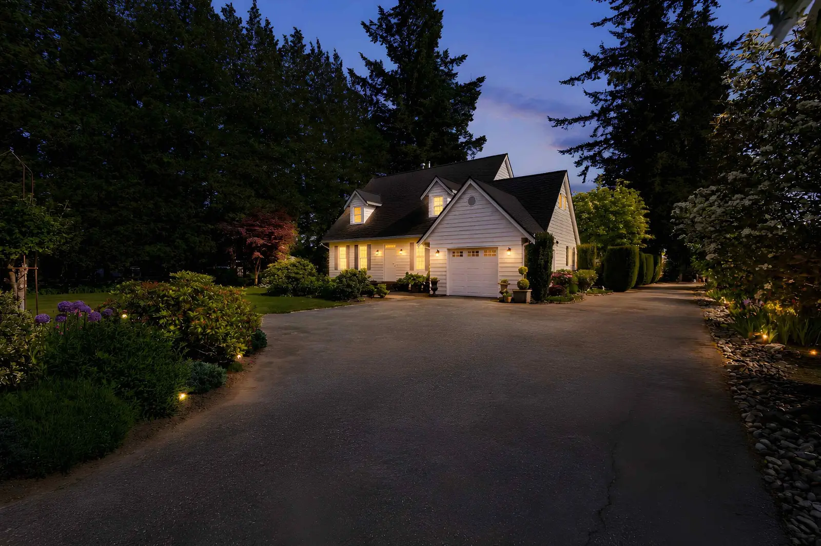
Virtual Twilight Photos: When They Help and When They Mislead
October 25, 2026 · 5 min read
Deciding when to use drone photos comes down to three clear criteria: lot scale, elevated sightlines, and geographic neighbourhood context that ground-level photography cannot adequately capture. If a property's primary selling proposition is invisible from eye level, professional aerial imagery is justified. When those features are already well documented from the ground, marketing budgets are often better directed toward interior coverage, floor plans, or video.
Real estate marketing operates on clear visual communication. When evaluating whether a new listing requires aerial media, agents can apply three reliable tests to determine if the visual perspective provides genuine marketing value.
Ground-level architectural photography is designed to capture structural elevation, finishes, and immediate outdoor living areas. However, eye-level lenses flatten large parcels and obscure irregular boundaries. The lot test asks a simple question: does standard photography fail to communicate the usable footprint, topography, or layout of the land?
In communities like Langley, Abbotsford, and Chilliwack, where acreage, hobby farms, and custom executive lots are common, elevated angles provide the only accurate way to showcase outbuildings, driveway access, fencing, and green space in a single frame. Conversely, on a standard rectangular subdivision lot in Surrey or Delta with identical neighbouring setbacks, an overhead shot often reveals little more than surrounding rooftops.
If a home commands an ocean, river, farmland, or mountain vista, the perspective from the primary living areas and balconies is critical. The view test determines whether an aerial perspective enhances or distorts that buyer expectation.
A low-altitude drone elevation can capture the full panoramic context of a White Rock ocean view or a North Shore mountain backdrop above Burnaby or Coquitlam. However, agents should always ensure that elevated angles represent sightlines that buyers will actually experience from the home or patio, preserving listing accuracy and transparency.
A home does not exist in isolation. The context test evaluates whether proximity to desirable community infrastructure—such as a protected greenbelt, golf course, shoreline, park, or cul-de-sac—materially influences buyer interest. When a property backs onto a park in South Surrey or sits three blocks from the water in Richmond, a contextual elevated angle establishes that location advantage instantly.
Evaluating aerial listing value involves understanding how specific property profiles benefit from elevated angles. Across the Lower Mainland, several listing types consistently see high return from professional aerial coverage.
For these property types, including elevated stills and motion within your drone photography and video services creates an immediate understanding of scale that standard still packages cannot match.
Not every listing benefits from an overhead lens. Understanding when drone worth it arguments fall flat helps agents steward vendor marketing budgets prudently.
On standard interior lots in dense master-planned communities, high-altitude aerials often highlight dense rooflines, small setbacks, and neighbouring utility infrastructure rather than the home itself. In these cases, clean ground-level composition, professional lighting, and twilight exteriors provide far stronger marketing appeal.
In heavily wooded neighbourhoods, summer foliage can completely obscure the home from above. Unless the goal is specifically to highlight forest seclusion, overhead images of a dense tree canopy offer little practical information to prospective purchasers.
Unless the complex features expansive shared amenities, scenic surrounding parkland, or a distinct corner location within the development, townhome buyers are primarily focused on floor plan layout, interior finishes, and direct patio utility. Ground-level exterior captures paired with detailed interior coverage deliver higher impact for standard units.
Before ordering elevated media for an upcoming listing, review this practical evaluation checklist to confirm whether property aerial photos are warranted:
If you answer "yes" to two or more of these questions, aerial coverage is typically an asset to your marketing package.
When incorporating drone photography into your listing workflow, regulatory compliance is just as important as visual composition. Unmanned aircraft operations in Canada are governed strictly by federal aviation law.
Commercial drone operations across the Lower Mainland must comply with Transport Canada drone safety regulations. Much of the urban Lower Mainland—including areas surrounding Vancouver International Airport (YVR), Boundary Bay Airport, Abbotsford International Airport, and regional heliports—falls within controlled airspace. Professional drone pilots must hold appropriate pilot certification (Basic or Advanced), operate registered Remotely Piloted Aircraft Systems (RPAS), and secure necessary air traffic control authorisations before launching.
Hiring an uncertified hobbyist or attempting unpermitted flights introduces liability risks for both the brokerage and the property owner. Professional real estate media providers manage flight planning, airspace clearances, and liability coverage as standard procedure, ensuring listings meet all advertising standards outlined by regulatory bodies such as the BC Financial Services Authority.
Elevated media is most effective when integrated into a cohesive, balanced marketing campaign. Rather than treating aerials as an automatic add-on for every listing, strategic realtors pair them intentionally with interior photography, cinematic video tours, and accurate floor plans.
Review our media portfolio to see how strategic aerial perspectives complement ground-level photography, or check our media package pricing to select the right combination of services for your upcoming listing. When you are ready to schedule visual coverage for your next property, you can book online or contact our team to discuss specific site requirements.
Explore our drone service and local media coverage, or request an itemized quote.
Drone photography is worth the investment when a listing features acreage, unique lot boundaries, panoramic views, or immediate proximity to natural amenities like greenbelts and water. If a property's best features are clearly visible from standard ground-level exterior angles, aerials may not add meaningful value.
Yes, but operations must strictly follow Transport Canada regulations. Much of Vancouver, Richmond, Surrey, and Burnaby sits within controlled airspace requiring an Advanced RPAS pilot certificate and formal air traffic control coordination. Professional real estate photographers manage these permissions prior to shooting.
No. Aerial photography complements ground-level architectural photography rather than replacing it. Eye-level images provide natural street-appeal perspectives that buyers experience upon arrival, while aerial images explain the broader geographic context, lot shape, and surrounding neighbourhood.
Light cloud cover often produces balanced lighting for photography, but active rain, high winds, and low visibility ground flights due to safety and Transport Canada rules. Professional media teams monitor local weather conditions and adjust flight schedules to ensure safe, compliant, and high-quality results.
Rated 5.0 stars from 10 Google reviews — read our Google reviews.
Ready to Apply This?
Real estate photography, video, drone, floor plans and 3D tours across the Lower Mainland — listing photos delivered within 12 hours of the completed shoot; other delivery confirmed when you book.
Keep Reading
Virtual Staging
October 25, 2026 · 5 min read
Pricing
October 23, 2026 · 6 min read
Marketing
October 21, 2026 · 5 min read